
Saint Vincent and the Grenadines
Last updated: 19 January 2026
At a glance
Saint Vincent and the Grenadines is a small archipelago of high islands and low-lying cays. The country includes a long chain of well-known cruising stops, including Bequia and the Tobago Cays Marine Park, forming one of the most continuous island-to-island cruising sequences in the eastern Caribbean.
Explore sailing areas
Our sailing area guides contain the most useful information for cruisers, including top-rated places to stay, attractions, yacht services, and summaries of yacht clearance experiences.
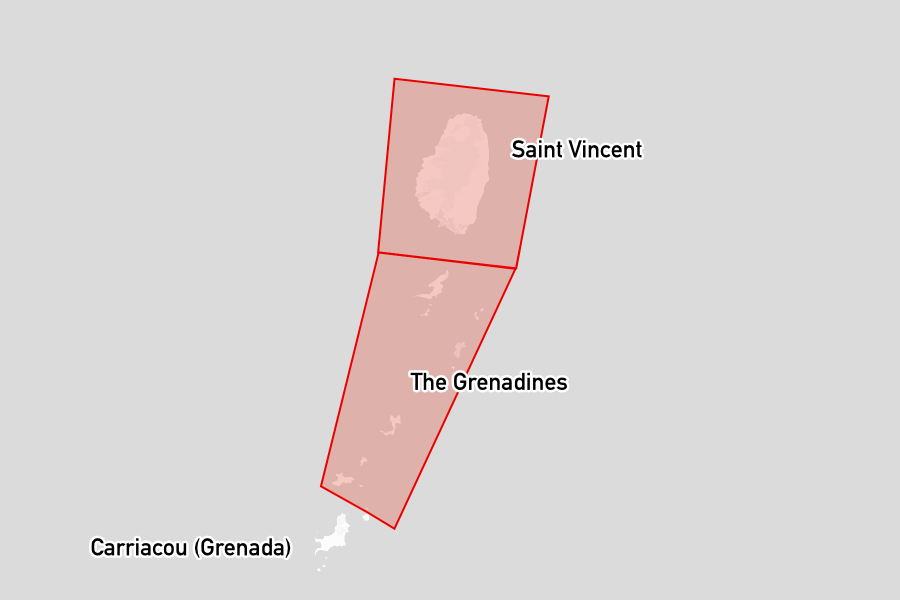
- St Vincent Includes the main commercial port and several yacht facilities used as a base or staging point for trips into the Grenadines.
- The Grenadines Cruising the Grenadines: Bequia, Mustique, Canouan, Mayreau, Tobago Cays and Union Island.
Yacht clearance and notes for mariners
See the relevant sailing area page above for details.
The off-season
Off‑season cruising in Saint Vincent and the Grenadines is less common, as the islands lie within the hurricane belt. Some yachts remain in the area, but most cruisers move south to islands such as Grenada, where there are established liveaboard communities and more recognised hurricane‑season options.
Facts for visitors
- Best times of year to sail here: December to April
- Most common type of shore power: 220V 50Hz
- Cost for provisioning: Medium, with lower costs at local markets and higher prices for imported goods
- Currency: Eastern Caribbean Dollar (XCD)
- Personal security: Generally safe, though caution in urban areas is advised
- Emergency phone numbers:
- Police: 911
- Coast Guard: 457-4578
- International dialing code: +1 784
- Time zone(s): UTC -4
Maritime history
The maritime history of Saint Vincent and the Grenadines reflects a long relationship with the sea, beginning with indigenous Carib communities who used small craft for fishing, inter‑island trade, and coastal travel. These early seafarers developed practical knowledge of local currents, winds, and landfalls that underpinned later maritime activity.
During the colonial period, the islands’ position in the Lesser Antilles drew competing French and British interests, with St Vincent changing hands before being ceded to Britain in 1763 and later fortified at sites such as Fort Charlotte. Plantations tied to Atlantic trade routes relied on enslaved Africans transported by sea, while coastal waters supported small‑scale fishing and local transport.
In the 20th century, shifts in global trade and independence in 1979 saw maritime activity diversify toward inter‑island ferries, cargo services, and local fishing fleets. Over recent decades, sheltered bays and cays have attracted increasing numbers of visiting yachts, and marine tourism now forms an important part of the economy alongside traditional boatbuilding skills that remain in use in several coastal communities.