
Tuvalu
Last updated: 11 April 2026
At a glance
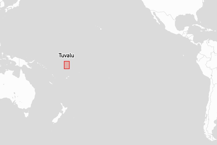
Tuvalu is one of the smallest and most remote nations on earth, a chain of nine low-lying atolls and reef islands scattered across the central Pacific. Its total land area is around nine square miles, spread across an expanse of ocean roughly the size of France. Nowhere does the land rise more than a few metres above sea level.
Its principal islet, Fongafale, is a narrow strip of land rarely wider than a few hundred metres, with a single road running its full length. The atoll's lagoon is around thirteen miles long and ten miles wide, with passes on the west, north, and east sides. Funafuti is the capital and the only port of entry.
Attractions
Meeting Hall of Two Villages is the social and ceremonial heart of Fongafale. The islet is divided into two villages by the Presbyterian church at its centre, and the hall is where both communities gather for council meetings, celebrations, and cultural events. Each year on 23 April it is the setting for Te Aso o te Paula, the Day of the Bomb, which marks the Japanese air raid on Funafuti in 1943. The occasion is a celebration of survival rather than a memorial, with competitive games between the villages through the week and traditional dance and song on the day itself.
Funafuti's lagoon offers snorkelling across a number of sites around the atoll, with the passes providing drift conditions on a strong tidal flow. Funafuti North Pass is the most visited of these, with reports comparing it favourably to well-known passes elsewhere in the Pacific.
Places to stay
Below are the most popular and highly rated places to stay, based on reviews from the noforeignland community:
Anchorages

|
Funafuti North
★
4.3
The anchorage allows for good holding in 7 to 12 meters of sand. Visitors should prepare for cash transactions only, as credit cards are not accepted. Swell conditions can occasionally be problematic due to nearby construction activities.
|
Yacht clearance links
Useful yacht clearance links:
- Noonsite: Clearance procedures, processes and fees.
- https://www.noonsite.com/place/tuvalu/
Yacht clearance reviews
The following lists summarize noforeignland user reviews for clearing in at ports of entry and when using clearance agents in Tuvalu:
Ports of entry offices
|
Procedures include contacting port control on VHF 16 for clearance. Staff are friendly and responsive, and customs handles interactions with immigration and health. Entry fees have increased to 195 Australian dollars, payable at the government building.
Place details mention: check in steps, fees or payments, opening hours, official boardings.
|
|
Check-in procedures for yachts have recently changed and now require visits to the customs office at the commercial wharf. Multiple visitors reported delays and fees associated with departure clearance, while some experienced quick and free services on holidays. Health and biosecurity checks follow customs clearance.
Place details mention: check in steps, fees or payments and opening hours.
|
|
Fongafale Town Council
★
3.5
Anchoring in Funafuti Lagoon requires obtaining permission, especially regarding conservation areas. Visitors should expect changing policies concerning anchoring locations. Payment of anchoring fees is necessary upon arrival.
Place details mention: check in steps, fees or payments and cruising permits.
|
Notes for mariners
Tuvalu lies within the convergence zone where the ITCZ and SPCZ interact. Conditions in this region are frequently squally, with variable winds and confused seas on passages to and from Funafuti. There is no reliable trade wind pattern comparable to islands further south.
Funafuti Atoll has three navigable passes. Charts are reliable but some markers are reported missing or out of position, and this should be factored into pass planning, particularly at night.
No clearance is possible on weekends or public holidays. Yachts must proceed directly to Funafuti without stopping at any outer atoll before clearing in. Visits to the outer islands require a permit and are subject to the island chief's approval.
The off-season
Tuvalu lies outside the main cyclone belt, though it does not function as a cyclone refuge in the way that Fiji and places further south do. It serves primarily as a waypoint on longer passages between Fiji and Kiribati or the Marshall Islands, and the small number of visiting yachts are spread across the year according to their onward routing rather than a distinct seasonal pattern.
Facts for visitors
- Best times of year to sail here: May through October
- Most common type of shore power: 240V 50Hz (Australian/New Zealand plug type)
- Cost for provisioning: Medium
- Currency: Australian Dollar (AUD)
- Personal security: Tuvalu has a low crime rate; normal precautions apply
- Emergency phone numbers:
- Police: 911
- Ambulance: 911
- Fire: 911
- International dialing code: +688
- Time zone(s): UTC+12
Maritime history
Tuvalu's atolls have been inhabited by Polynesian peoples for at least two thousand years. The prevailing view among scholars is that the islands were settled by migrations originating in Samoa and Tonga, with later influence from Micronesia in the northern atolls. Inter-island navigation across this part of the Pacific relied on traditional wayfinding techniques, and the atolls maintained trade and cultural connections across considerable ocean distances.
European contact began with Spanish and British expeditions in the sixteenth and seventeenth centuries, though regular contact came later. The islands were incorporated into the British Gilbert and Ellice Islands Colony in 1916, administered jointly with what is now Kiribati. In 1974, the Ellice Islands voted in a referendum to separate from the Gilbert Islands, citing cultural and ethnic differences between the Polynesian Ellice population and the Micronesian Gilbertese. The resulting territory gained independence as Tuvalu on 1 October 1978.
Funafuti became a significant Allied base during World War II, positioned to support operations against Japanese-held islands in the Gilberts. The United States constructed the airstrip on Fongafale in 1943. Japanese air raids on Funafuti during the same year caused casualties among the population, an event still commemorated on the island annually. The airstrip laid down for military purposes remains the operational runway today.
Tuvalu's contemporary maritime identity is shaped as much by its vulnerability as its geography. The country has been a prominent voice in international climate negotiations, drawing attention to the threat posed to low-lying Pacific nations by rising sea levels. Tuvalu's stamp programme, which generates a disproportionate share of government revenue for a nation of its size, became a notable feature of its engagement with the outside world during the latter decades of the twentieth century, with issue designs marketed to collectors globally.