
Solomon Islands
Last updated: 11 April 2026
At a glance
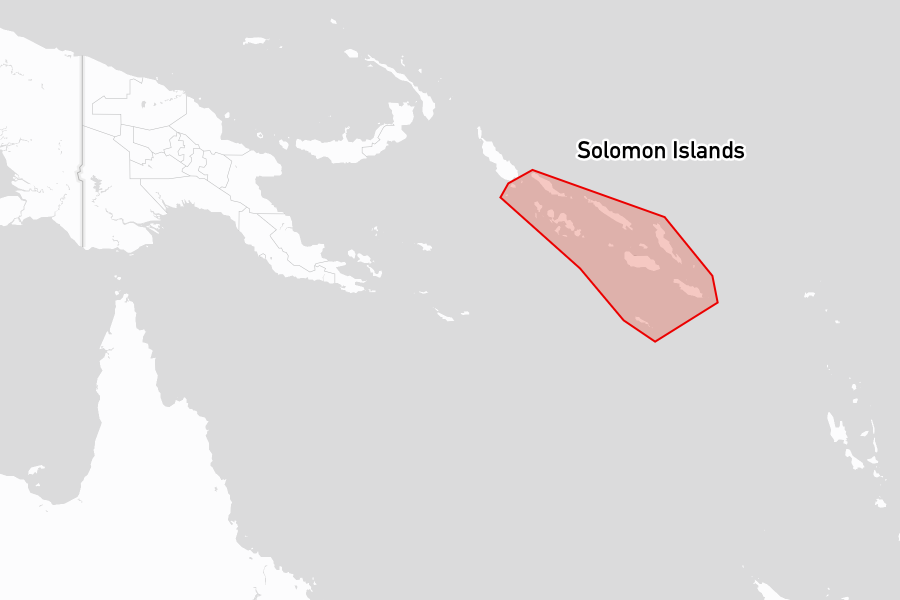
The Solomon Islands are a Melanesian archipelago of around 900 islands lying southeast of Papua New Guinea, stretching roughly 1,500 kilometres across the southwestern Pacific. The country is divided into nine provinces across several major island groups. Honiara, on Guadalcanal's northern coast, is the capital.
The islands are mountainous and heavily forested, with a hot and humid climate year-round. The population is predominantly Melanesian. English is the official language, with Solomon Islands Pijin spoken as a lingua franca alongside more than 80 local languages. Land and coastal marine areas remain under traditional ownership, and kastom (traditional culture and law, passed down orally) is central to daily life across the islands.
The Solomons offer varied cruising, from the vast double-barrier lagoon of Marovo in the Western Province to remote outer islands in Temotu. Provisioning is limited outside Honiara, Noro, and Gizo, and visiting boats should be self-sufficient in spares and mechanical support.
Attractions
The Western Province contains the cruising centrepiece of the country: Marovo Lagoon, one of the largest double-barrier coral lagoons in the world, is composed of three connected lagoons surrounding Vangunu Island and is scattered with small islands, reef passages, and coral bommies. The lagoon is known for its woodcarvers, whose hardwood pieces inlaid with nautilus shell are among the most distinctive craft produced anywhere in Melanesia. The lagoon was nominated for UNESCO World Heritage status in 1991 but was not listed, partly due to ongoing logging and mining within its boundaries.
The World Explorer Wreck can be found lying at the far end of Roderick Bay. The cruise ship grounded here in April 2000 and was beached on a 45-degree list. The deck is accessible by ladder and has a zip line to the beach. There is good snorkelling around the submerged hull.
Kavachi, in the New Georgia group, is one of the most active submarine volcanoes in the Pacific. It periodically breaks the surface and has been documented hosting shark populations in its acidic, superheated waters. Activity is highly variable.
The Turtle Sanctuary - Arnavon Islands sits within the Arnavon Community Marine Park, which protects the largest hawksbill turtle rookery in the South Pacific and is managed as a community conservation zone. Rangers offer turtle monitoring, snorkelling, and wildlife activities, and visitors can participate in nesting and hatching observations.
Places to stay
Below are the most popular and highly rated places to stay, based on reviews from the noforeignland community:
Anchorages

|
Lola Island
★
5.0
Vonavona
Visitors report a calm and protected anchorage with friendly staff. The resort offers meals, drinks, and the opportunity to purchase fresh eggs. Scenic bush walks and enjoyable sundowners contribute to a positive experience.
|

|
Reef Islands
Anchoring is recommended near the village, as the chief prefers visitors to drop their hook at a specific spot. Visitors have reported a welcoming atmosphere in Mola Village, with community interactions and limited tourism activity. Local watchfulness helps ensure boat security.
|

|
Viru Harbour
★
4.9
New Georgia
The anchorage is calm, sheltered, and safe for visitors. Many appreciate the friendly locals, particularly Vikaka, who assist with fresh vegetables and tours. The vibrant children's presence adds to the lively atmosphere, making it a memorable stop.
|

|
Mbakui Island
★
4.9
Pavuvu
Beautiful anchorage with peaceful surroundings. Visitors report excellent snorkeling opportunities, friendly caretakers, and minimal boat traffic. Stock up on supplies before arrival, as trading on the island is limited.
|

|
Arnavon Islands
The anchorage provides a unique opportunity to observe turtle nesting and hatching, with knowledgeable rangers available for education. However, some visitors reported issues regarding financial requests by local hosts. Activities like vegetable purchasing are encouraged at nearby villages.
|

|
Ghupuna
★
4.7
Makira
Anchoring conditions include good holding with depths reaching 80 feet. Community interactions offer opportunities for trading with village children for local produce. The village atmosphere is friendly and visitors often feel safe.
|

|
Lumalihe
★
4.5
Mbulo Island
The anchorage features clear water with abundant marine life, ideal for snorkeling. Visitors reported anchoring in depths of 6 to 10 meters on sand and noted good protection from SE winds. Crocodiles were mentioned as a caution for swimming.
|

|
Uki Island
★
4.4
Makira
Anchoring is possible in clear, sandy areas with good holding. Visitors have experienced friendly interactions with locals and enjoyed vibrant marine life, including colorful fish and dolphins. Incidents of theft have occurred, so securing belongings is advised.
|

|
Sarumara Island
★
4.4
Mbulo Island
The anchorage offers depths between 4 to 7 meters in sandy areas. Water clarity is noted as good, with protection from winds and space for multiple vessels. Some visitors reported the presence of a fish camp nearby during their stay.
|

|
Mbili
★
4.3
Mbulo Island
No anchorage fees were reported in 2025, with organized carvings showcasing local artisans. Visitors described the setting as sheltered and safe, with an emphasis on interaction with local carvers and traders. Swimming carries some risks due to sightings of sharks.
|
Moorings

|
Simon's Nature Reserve
★
5.0
Nggela Islands
Two free moorings are currently available, with one installed in July 2025 and another in November 2025. Visitors can snorkel near the healthy reef, supported by conservation efforts led by Simon. Donations and assistance for items like educational materials and diving help are encouraged.
|

|
Nggela Islands
Two moorings are available, with the outer mooring subject to swells while the inner mooring offers more protection. Visitors report a welcoming atmosphere, highlighted by traditional dances and support from local families. Donations are appreciated, aiding in the maintenance of the facilities.
|
Boat services
Below are the most popular and highly rated boat services, based on reviews from the noforeignland community:
Chandlers

|
Solomon Pro munda
★
5.0
New Georgia
The chandler offers fishing and spearing gear, along with various snorkelling-related products. Prices are noted as favorable. This establishment appears to be operational, with no indications of closure in the available Review.
|
Yacht clearance links
Useful yacht clearance links:
- Noonsite: Clearance procedures, processes and fees.
- https://www.noonsite.com/place/solomon-islands/
Yacht clearance reviews
The following lists summarize noforeignland user reviews for clearing in at ports of entry and when using clearance agents in Solomon Islands:
Ports of entry offices
|
Guadalcanal
Outbound clearance processed through the second door on the left with no fees charged for customs. Biosecurity fees were 300, and there were no inspections on the yacht during the visit.
Place details mention: check in steps and official inspections.
|
|
Noro Customs
★
4.5
New Georgia
Check-in procedures are manageable, with officials willing to come to your boat for clearance. The process can involve picking up customs and immigration at the market dock. Fees for inward and outward clearance, along with biosecurity, were reported in October 2023.
|
|
Lata Port of Entry
★
4.5
Santa Cruz Islands
Offers: Customs, and immigration.
The clearance process at Lata Port of Entry is straightforward and efficient, with officers coming directly to the boat for assistance. Visitor interactions emphasize the friendly nature of the staff, particularly highlighted in multiple Reviews. Check-out fees are specified, including a fee associated with diesel.
Place details mention: prearrival requirements, required documents, fees or payments, official inspections and official boardings.
|
|
Noro Immigration
★
4.0
New Georgia
Inward and outward clearance is available at Noro Immigration with specific fees. Visitors interacted positively with staff, specifically Officer Obed Rooney, who provided helpful assistance during the process. Local contact numbers for relevant services were also shared.
|
|
Noro Biosecurity Office
★
3.0
New Georgia
Check-in and clearance interactions include local phone contacts for Customs, Biosecurity, and Immigration. The customs and health services have no fees, while inward and outward clearances cost 500 SBD each, plus a 300 SBD fee for biosecurity. Visitors should verify payment and procedural details before arrival.
|
|
Honiara Immigration
★
3.0
Guadalcanal
Offers: Immigration.
Yacht immigration services are now located at the new seaport office near customs. Visitors should verify the changes in location for their immigration procedures. Specific experiences regarding staff behavior or waiting times were not mentioned.
Place details mention: check in steps, fees or payments and opening hours.
|
|
Taro Immigration
★
3.0
Choiseul
Customs clearance can be problematic if the assigned officer is unavailable. Visitors reported a five-day wait, indicating the importance of verifying officer availability prior to arrival. Confirming with local contacts may help avoid delays.
Place details mention: check in steps, required documents, fees or payments, prearrival requirements and departure requirements.
|
|
Gizo Customs
★
1.0
Gizo
Gizo Customs is reportedly unavailable for clearing activities. A visitor mentioned unsuccessful attempts to locate customs personnel, leading them to check-in at Noro instead. Visitors should check recent Reviews for additional context or updates.
Place details mention: check in steps, prearrival requirements and departure requirements.
|
Notes for mariners
Chart accuracy varies across the island chain. Electronic charts are broadly serviceable in the main cruising areas but can be significantly off in remoter locations, particularly in the north. Satellite imagery is a valuable supplement.
The islands are surrounded by extensive reef systems. Passes into lagoons and between islands frequently carry strong tidal currents and many are narrow. Entry should be made with caution.
Crocodiles are present in rivers, mangroves, and some bays throughout the country. Local advice on swimming safety should be sought in unfamiliar anchorages.
Anchoring fees are charged at many locations, with practices varying widely. Some are community-managed conservation levies with transparent structures; others are more contested. Arriving boats should seek out the chief or village authority before anchoring where possible.
At Noro, duty-free fuel is available for foreign-flagged yachts.
The off-season
The cyclone season runs from November through April, corresponding to the northwest monsoon. Most cruisers pass through between May and October, when the southeast trades provide reliable conditions and rainfall is lower. The Western Province, lying above 10°S, has a reputation for offering good shelter during the cyclone season, with several well-protected anchorages considered viable cyclone holes.
Facts for visitors
- Best times of year to sail: May to October
- Provisioning cost: Medium to High
- Currency: Solomon Islands Dollar (SBD)
- Shore power: 230V / 50Hz (Australian/New Zealand-style three-pin plugs)
- Personal security: Exercise caution. Opportunistic theft is reported across several areas. Crocodile attacks have been reported in remote areas
- Emergency phone numbers:
- Ambulance: 111
- Fire: 988
- Police: 999
- International dialing code: +677
- Time zone: UTC+11
Maritime history
The Solomon Islands are believed to have been settled by Austronesian-speaking peoples around 2000 BC, with later Melanesian migrations contributing to the linguistic and cultural diversity of the islands. The Spanish explorer Álvaro de Mendaña de Neira made the first recorded European contact in 1568, sailing from Peru. He named the archipelago after the biblical King Solomon. A second Mendaña expedition in 1595 attempted to establish a colony at Graciosa Bay in the Santa Cruz Islands; it failed and Mendaña died during the voyage.
European engagement remained limited for two centuries. From the 1860s, blackbirding operations transported islanders under duress to work on sugar plantations in Queensland and Fiji, causing significant population loss in some groups and lasting hostility toward outsiders. Britain declared a protectorate over the southern Solomon Islands in 1893, later extending it to the northern islands.
The Second World War brought sustained and destructive conflict to the archipelago. Following Japan's occupation of Guadalcanal in 1942 and construction of an airfield there, the United States launched an amphibious assault in August of that year, beginning a six-month campaign across Guadalcanal and the surrounding islands. The waters between Guadalcanal and the Florida Islands, known as Iron Bottom Sound, take their name from the warships and transports sunk during the fighting. The campaign extended to the New Georgia group and the Russell and Florida Islands and represented a strategic turning point in the Pacific war. Honiara, built on the site of the Japanese airfield, became the postwar capital.
The Solomon Islands became self-governing in 1976 and gained full independence in 1978. A period of ethnic tension between 1998 and 2003, centred on Guadalcanal and Malaita, led to the deployment of the Regional Assistance Mission to Solomon Islands (RAMSI), a Pacific-led multinational force that remained until 2017.