
Pitcairn
Last updated: 1 January 1970
At a glance
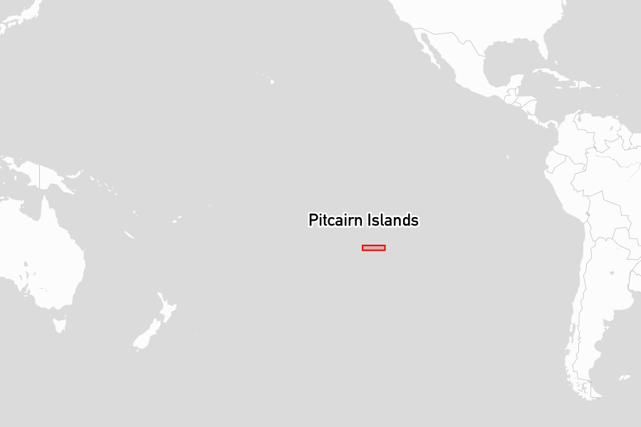
The Pitcairn Islands are a British Overseas Territory comprising four islands in the South Pacific: Pitcairn, Henderson, Ducie, and Oeno. Pitcairn is where the mutineers of HMS Bounty settled in 1790, and their descendants live there still. Only Pitcairn itself is inhabited, with a population numbering in the dozens. The islands lie roughly midway between New Zealand and Panama, well removed from the main Pacific cruising routes, and are visited by few yachts each year.
Pitcairn Island is volcanic and steep-sided, with no harbour. Henderson, to the north-east, is a raised coral atoll and UNESCO World Heritage Site notable for its ecological integrity and endemic wildlife. Ducie and Oeno are uninhabited atolls at the eastern and north-western extremes of the territory. The entire island group and its surrounding waters form one of the world's largest Marine Protected Areas.
Attractions
In 1789, Fletcher Christian led a mutiny against Lieutenant William Bligh aboard HMS Bounty in Tongan waters. Christian and eight fellow mutineers, accompanied by a group of Tahitian men and women, spent months searching the Pacific for a refuge beyond reach of the Royal Navy before landing on Pitcairn in 1790 and burning the ship. The settlement went undetected for nearly two decades. Their descendants remain on the island today, and the Pitcairn Museum holds artefacts recovered from the wreck of the Bounty in Bounty Bay, along with material relating to the mutiny and the community's history. The islanders produce woodcarvings, woven goods, and honey, traded with passing vessels.
Henderson Island is a raised limestone atoll largely free of introduced species. It supports four endemic land bird species, among them the Henderson petrel and the Henderson fruit dove, and its interior and fossil-rich cliffs have been the subject of ongoing scientific study. The island also carries archaeological evidence of pre-Columbian Polynesian settlement, with occupation dated to between approximately the 12th and 15th centuries, before the population disappeared prior to European contact.
Oeno Island is a coral atoll roughly 75 nautical miles north-west of Pitcairn, fringed by low motu and white sand beaches, and used periodically as a retreat by Pitcairn islanders. BirdLife International has designated it an Important Bird Area, principally for its Murphy's petrel colony, estimated at some 12,500 pairs and considered the second largest in the world.
Places to stay
Below are the most popular and highly rated places to stay, based on reviews from the noforeignland community:
Anchorages

|
Ducie Island
★
3.0
Challenging anchoring conditions were noted, with visitors struggling to find suitable spots due to coral and swell. Access to the lagoon can be complicated and may require cautious timing around high tides. Snorkeling possibilities were mentioned as slightly better than the south side.
|
Yacht clearance links
Useful yacht clearance links:
- Government of The Pitcairn Islands: Policies and forms
- https://www.government.pn/government/policies-annexes-and-forms
- Government of The Pitcairn Islands: Guide for Visiting Vessels December 2025
- https://www.government.pn/s/GUIDE-FOR-VISITING-VESSELS-uploaded-Dec-13-2025.pdf
- Government of The Pitcairn Islands: Import of domestic animals into Pitcairn
- https://www.government.pn/s/GPI-Policy-Importation-of-Domestic-Animals.pdf
- Noonsite: Clearance procedures, processes and fees.
- https://www.noonsite.com/place/pitcairn-island/
There are currently too few reports on yacht clearance for this part of Pitcairn. If you clear in here, please add any missing clearance markers and a short review to help others.
Notes for mariners
On Pitcairn Island, the main anchorage for arrivals is open to swell and exposed to changes in wind direction. The Mayor doubles as Harbourmaster and may guide arriving vessels to the best anchorage on the day. Recent visitors report that contact with the harbourmaster should be made on VHF Channel 80; official guidance specifies Channel 16. A small landing ramp is the only viable means to get ashore via dinghy.
At Henderson Island, landing is restricted to North Beach only; visitors should remain on the landing beach and its immediate hinterland. East Beach is closed. North-West Beach may be used only if North Beach is inaccessible due to sea conditions. The island's waters support sharks. At Oeno and Ducie, access ashore requires an inflatable; there are no entrances suitable for conventional tenders. Entry to Oeno's lagoon is conditions-dependent and warrants assessment before committing.
The entire Pitcairn Islands EEZ was declared a Marine Protected Area in 2015. Fishing is prohibited throughout, as is removal of artefacts, marine life, and non-living natural material from the seabed.
Bio-security requirements apply across all four islands. Honey and bee products may not be landed. No foreign flora or fauna may be introduced, and nothing may be taken from any island. Fresh fruit may not be brought ashore at Henderson. Clothing, stores, and equipment should be cleaned before going ashore, and containers checked to ensure they are rodent-free. All rubbish must be removed from the outer islands before departure. No fires ashore.
There are no fuel, marina, or port facilities. Seasonal fresh produce is available on request, and fish and lobster may be available with advance notice through the island's Provisions Officer. Vessels anchored overnight should keep outdoor lighting to the minimum required for safety, in line with the territory's designation as an International Dark Sky Sanctuary.
The off-season
The Pitcairn Islands have no defined cruising season. Yacht visits occur throughout the year, concentrated among vessels transiting between South America and French Polynesia. The southern summer, broadly November to April, accounts for the majority of traffic as it aligns with favourable passage conditions in this part of the Pacific. Winter months bring stronger Southern Ocean swells and less predictable conditions at the anchorage off Pitcairn.
Facts for visitors
- Best times of year to sail here: Most yachts visit between November and April
- Shore power: None available
- Provisioning: N/A
- Currency: New Zealand Dollar (NZD)
- Personal security: No significant security concerns
- Emergency phone numbers: Police: VHF Channel 80 or 16
- International dialling code: +64
- Time zone: UTC-8
Maritime history
The Pitcairn Islands entered recorded European history in 1767, when HMS Swallow under Captain Philip Carteret sighted the main island, noted it as uninhabited, and charted its position, with a longitude later found to contain significant error. In 1789, HMS Bounty, under Lieutenant William Bligh, was taken by mutineers led by Fletcher Christian in Tongan waters. Christian and eight fellow mutineers, accompanied by a group of Tahitian men and women, searched the South Pacific for a refuge beyond reach of the Royal Navy. In 1790, using Carteret's imprecise chart, they identified Pitcairn, landed, and burned the Bounty in the bay that now bears her name.
The settlement went undetected until 1808, when the American sealing vessel Topaz, under Captain Mayhew Folger, called at the island and found a community descended from the mutineers and their Tahitian companions. Only one mutineer, John Adams, had survived. Folger reported the discovery at Valparaíso. In 1814, HMS Briton and HMS Tagus confirmed the community's existence, and the island was formally placed under British jurisdiction in 1838.
Henderson Island carries a separate and older history. Archaeological evidence indicates Polynesian settlers, likely originating from Mangareva in the Gambier Islands, occupied Henderson between approximately the 12th and 15th centuries. The colony appears to have relied on exchange with Mangareva for certain materials; when that network collapsed, the population disappeared before any European contact. The island was first recorded by a European navigator in 1819, when Captain James Henderson of the East India Company vessel Hercules sighted it.
A British proposal in the 1930s to relocate the Pitcairn community to Norfolk Island was declined by the islanders. The territory continues to be administered under British law, governed by the Pitcairn, Henderson, Ducie and Oeno Islands Act, with the islands among the most remote inhabited places on earth.